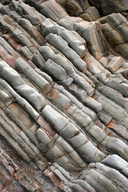
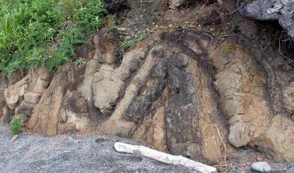
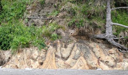
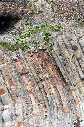
Geologically speaking, the Olympic Peninsula is fairly young. The oldest rock material is in the range of 55 to 65 million years old. The sediments that are found in sedimentary rock materials of the Peninsula originated from the erosion of the early Cascade Range to the east. Millions of years of erosion on the Cascades caused sediments to flow out to sea and settle in horizontal strata that stretched out to sea for hundreds of miles.
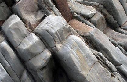
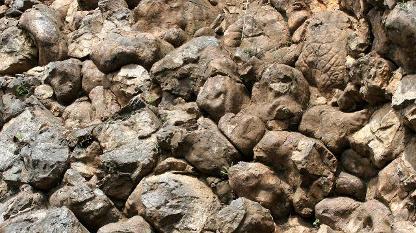
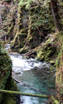
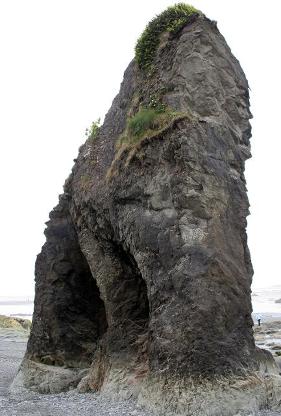
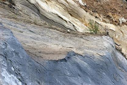
Not too long after the sedimentary materials started to form, a now extinct volcanic hotspot located out at sea exuded millions of metric tons of basaltic material, much of which cooled extrusively and formed the easily seen pillow basalt outcroppings along the Hurricane Ridge road and other locations on the Peninsula.
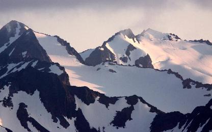
This massive “blob” of cooled lava extruding through the Cascade sediments "traveled" eastward riding on top of the Juan de Fuca Plate as it was colliding with the North American continental plate. As the Juan de Fuca plate subducted below the North American, the sedimentary material and the basalt formation accreted on top of North America. The continual subduction of the Juan de Fuca Plate eventually caused the uplift mountain range currently known as the Olympic Mountains. The eons of collision changed the shape of the basaltic blob in to what is currently known as the Crescent Formation. The core sediments of the interior and perimeter of the Peninsula show distinct signs of uplift as well. In fact it is the exception today to find strata that are horizontal!
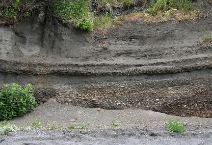
From time to time, one will find huge boulders of granite and other types of non-native igneous rocks here on the peninsula. Since the only native form of igneous rock on the Olympic Peninsula is the basalt of the Crescent Formation, these “erratics” had to originate somewhere else. In fact, they came from British Columbia during our last glacial period. Carried on the vast continental glaciers that existed with the massive Cordilleran Ice Sheet, the boulders were deposited in our area when the glaciers started to recede about 18,000 years ago.
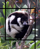
The Juan de Fuca and the Puget lobes formed the bodies of water that have the same names. This glacial period, which lasted some 4000 plus years, basically caused the entire Olympic Peninsula to be an island – surrounded by sea on one side and ice (and a massive river) on all others. This period of time was very important for the species that call this area home. It was during this period of geographic isolation that we find many of our endemic species evolving. The Olympic Peninsula is home to numerous endemic species such as the Olympic Marmot and Chipmunk. Many floral species are also found only on the Olympic Peninsula.
As well as the high degree of endemism here, the Olympic Peninsula has many animals that are absent from our local species list. The same glaciers that created the conditions for significant speciation also created barriers that prevented species such as grizzlies and bighorn sheep from finding their way to the Peninsula. Tim McNulty coined the term “Missing Dozen” that aptly describes their absence from the peninsular fauna.
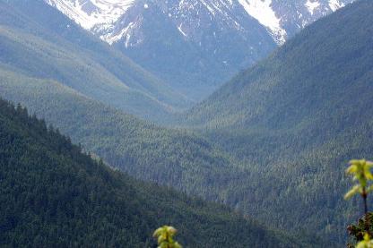
At the same time as the continental Frazier Glaciation Stade, alpine glaciers in the Olympic and Bailey Range were busy carving the spectacular glacial valleys such as the lower Elwha and the Crescent Lake regions of the Peninsula.
Here are some very useful links for much more information on the geology of the Olympic Peninsula:
USGS Geology of Olympic National Park
Geology of the Olympic Peninsula (Dungeness River Audubon Center)
Endemic Animals of the Olympic Peninsula
Click here to visit our Olympic Peninsula image galleries!